
Business & Industry
Business is booming in Franklin County. Opportunity spans industries from manufacturing, to healthcare, to higher education. Manufacturing is the backbone of the Franklin County economy and makes up 21% of the total non-government industry, followed by retail at 12.7% and healthcare at 11.3%. Education is a strong presence as well, with a robust public education system, a 4-year college, and a well-resourced continuing education facility.

Franklin County is part of the larger Roanoke Region that’s home to more than 300,000 residents. The robust regional economy is strong and continues to grow. The numbers speak for themselves:
Regional Economy
| 2005 | 2010 | 2020 | |
|---|---|---|---|
| Total Population | 319,760 | 325,728 | 331,319 |
| Jobs | 162,400 | 156,218 | 161,955 |
| Average Wage | $32,968 | $38,675 | $48,194 |
| Gross Domestic Product | $11,838,000,000 | $13,390,000,000 | $16,239,449,000 |
Cost
Franklin County and the surrounding area is ranked by Forbes among the Top 15 places in the nation for low cost of doing business. That means when you locate here, you’ll enjoy lower operating costs and low taxes. Thanks to Virginia’s long history of fiscal discipline, we enjoy an AAA bond rating too.
A low cost of living is important to individuals and businesses. It means lower bills and less money spent on an operating budget. The cost of living in the Franklin County region is 12.3% below the national average and labor costs reflect this as well, ranking below the national average.
Roanoke Region Median Wage Estimates (Hourly Rate)
| Occupation | Roanoke | Virginia | United States |
|---|---|---|---|
| Management | $48.23 | $61.90 | $51.62 |
| Architecture and Engineering | $36.24 | $43.60 | $40.24 |
| Life, Physical, and Social Sciences | $30.69 | $38.27 | $35.74 |
| Business and Financial Operations | $30.43 | $39.29 | $36.95 |
| Install, Maintenance, and Repair | $22.78 | $23.06 | $24.08 |
| Construction and Extraction | $21.01 | $22.65 | $24.31 |
| Protective Service | $19.14 | $22.01 | $21.85 |
| Production | $18.21 | $19.85 | $19.19 |
| Office, Administrative, and Support | $18.13 | $19.15 | $19.67 |
| Transportation, Material Moving | $17.14 | $18.19 | $18.24 |
| Sales and Related | $14.41 | $16.84 | $16.96 |
| Health Care Support | $14.15 | $14.72 | $16.16 |
| Personal Care & Service | $13.52 | $14.47 | $14.25 |
| Food Preparation, Serving | $12.83 | $13.72 | $13.30 |
Taxes
Franklin County has one of the lowest tax rates in the nation at 6% (beating the national average at 6.97%). Counties and cities are separate taxing entities, so companies only pay taxes to the county or city but not to both. Localities collect a 1% sales tax, but do not tax any other items that are taxed at the state level.
And speaking of state taxes, Virginia does not tax:
- Property at the state level
- Localities do not have separate school district taxes.
- Intangible property
- Manufacturers’ inventory
- Manufacturers’ furniture, fixtures, or corporate aircraft
Unlike many areas in the state, Franklin County does not require businesses to pay a tax associated with a Business, Professional, and Occupational License (BPOL). This tax is typically calculated based on a company’s gross receipts and can be a significant expense for businesses. By not having a BPOL Tax, Franklin County frees up dollars that can be reinvested back into your business, allowing you to grow and thrive in a supportive and business-friendly environment.
Compared to other areas competing for your business, you cannot beat Franklin County when it comes to affordability.
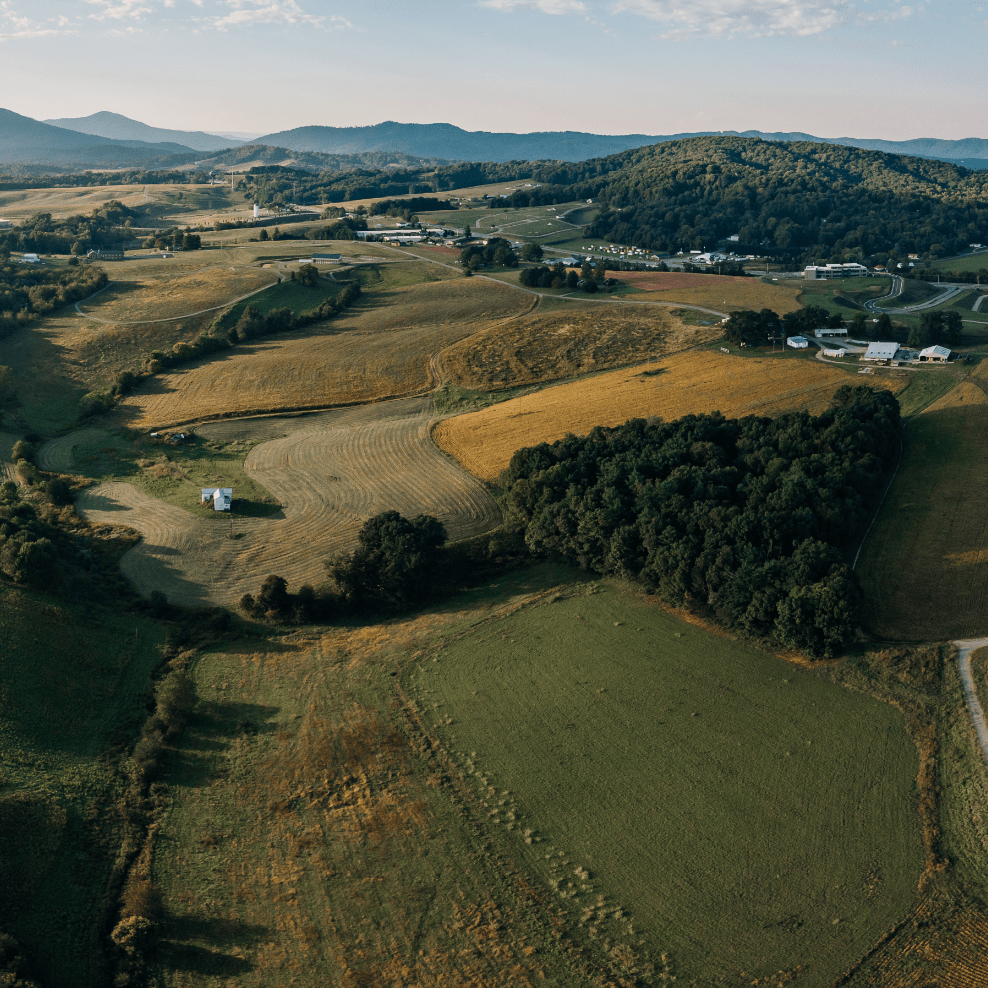
Geography & Climate
With excellent East Coast accessibility and plentiful natural resources, Franklin County is your destination for success. We enjoy a temperate climate and diverse topography that encompasses stunning sections of the Blue Ridge Mountain and both Philpott and Smith Mountain Lakes. Between the iconic natural features, there lies a generally sloping terrain of fruitful farmland, growing forests, and pure, clear rivers. A place of four comfortable seasons, the community’s climate allows all the advantages of those seasons without any of the excessive extremes.
Demographics & Workforce
Workforce development is a high priority in Franklin County. The county boasts a 94% on-time graduation rate. More than 85% of the population hold high school degrees and 21% have a bachelor’s degree or higher. With an educated workforce and plenty of opportunities for growth, you’ll have access to a talent pool that’s unmatched.
The Roanoke Region, of which Franklin County is a part, boasts a high concentration of colleges, universities, and training programs. That means new highly-skilled people are joining the workforce all the time.
Franklin County Labor Force Data
| Labor Force | 267,846 |
| Unemployed | 8,664 |
| Unemployment Rate | 3.2% |
The Franklin Center for Advanced Learning & Enterprise
We partner with the Franklin Center for Advanced Learning and Enterprise in Rocky Mount to provide support to employees and employers alike. The centrally located facility offers meeting space with video and audio-conferencing technology.
Through the Franklin Center, citizens and businesses are able to access the other important partners in the workforce development circle including Ferrum College, Virginia Western Community College, the Virginia Employment Commission, and the Greater Roanoke Workforce Development Board, and more.